
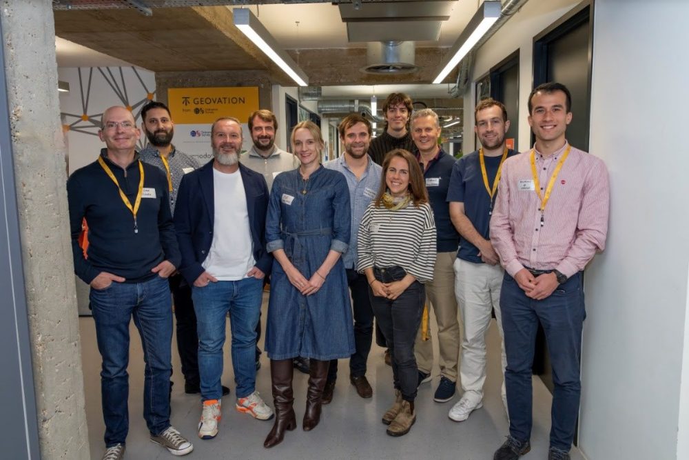
Marking its 15th anniversary, Geovation, the UK’s home of location and property innovation, has unveiled its 21st Accelerator Cohort, a milestone that reinforces its continued leadership in advancing digital and data-driven transformation across the built environment.
In collaboration with Ordnance Survey (OS) and HM Land Registry (HMLR), Geovation has supported more than 150 startups to date, over 75% of which have progressed through its flagship Accelerator Programme. Over the past decade and a half, Geovation has become synonymous with geospatial innovation, nurturing founders who are using location intelligence and property data to address critical societal challenges, from housing and infrastructure to biodiversity and sustainability.
A new chapter for location and property innovation
The award-winning Geovation Accelerator Programme runs across two complementary tracks, GeoTech and PropTech, each designed to harness the power of data, location insight, and emerging technologies to reshape the industries that underpin our daily lives.
The latest startups joining the programme exemplify the growing diversity of applications for location and property technology. Across the next six months, these early-stage innovators will benefit from a structured programme of targeted workshops, one-to-one mentoring, and technical support from the Geovation Tech Team. The curriculum explores key business areas including customer development, technology, business models, intellectual property, team building, and funding readiness.
By connecting founders with a dynamic ecosystem of partners, investors, and stakeholders, the Accelerator helps transform pioneering ideas into scalable solutions for the digital construction sector and beyond.
Transforming property through data-driven innovation
Delivered in partnership with HM Land Registry, the PropTech track is focused on creating a more transparent, efficient, and accessible property market. The startups selected for this cohort are tackling entrenched challenges in homeownership, surveying, and planning through data-driven innovation and digital transformation.
- Liberty Bell – Liberty Bell Ethical Enfranchisement (LBEE) is reimagining the leasehold system by empowering leaseholders to reclaim control of their homes. Rooted in public service values, LBEE provides affordable, transparent, and accessible tools to simplify enfranchisement and overcome the barriers of the current system.
- Survey Shack – Combining surveying expertise with intuitive technology, Survey Shack’s app-guided inspection platform helps homeowners, buyers, and property professionals assess a building’s condition with confidence. The platform delivers instant reports enriched with local data insights and next-step guidance, while its Survey Shack Genie feature connects users directly with professional surveyors for expert support.
- UK Planning Gateway – Based in Birmingham, this platform is redefining the digital planning application process. Using AI validation, OS mapping, and council-specific forms, it enables faster, more accurate submissions for homeowners and professionals alike. Its AI assistant, AskArchi, provides real-time guidance, reducing delays and errors while helping councils process applications more efficiently.
“The startups selected for the PropTech track are tackling long-standing challenges in property with compassion, fresh thinking and practical innovation,” said Lynne Nicholson, Deputy Director for Data at HM Land Registry. “Their work supports our mission to enhance transparency and efficiency across the property market.”
Pioneering new frontiers in location data
In collaboration with Ordnance Survey, the GeoTech track showcases the potential of geospatial data to unlock new opportunities in agriculture, biodiversity, and transport. These startups are using AI and advanced analytics to create smarter, more sustainable systems built on location intelligence.
- Oko – Oko is streamlining agricultural funding by using geospatial intelligence and AI to automatically match farms with relevant grants and environmental schemes. Its platform helps farmers and advisors make informed, timely decisions,supporting both business resilience and environmental stewardship.
- TransHumanity – A spin-out from Loughborough University, TransHumanity is pioneering agentic AI to transform business intelligence. Its platform allows users to generate insights, discover trends, and produce reports simply by chatting to the system, bridging fragmented data sources and replacing complexity with clarity.
- Stratum – Stratum accelerates planning approvals by using multi-agent AI systems to draft technical assessments for developers. Reports are reviewed by accredited experts, ensuring accuracy while reducing time and cost. This streamlined approach supports sustainable development and more efficient project delivery.
- Linckia – Emerging from a leading environmental consultancy, Linckia is developing digital tools for biodiversity measurement and natural capital assessment. Using geospatial workflows, Linckia simplifies complex environmental metrics, enabling businesses and policymakers to integrate sustainability into decision-making. As an ESRI Silver Partner and OS channel reseller, Linckia is well-positioned for growth in the rapidly expanding environmental data sector.
“The startups selected for the GeoTech track are redefining what’s possible with location data and intelligent systems,” said Ash Wheeler, Chief Product Officer at Ordnance Survey. “Their work demonstrates how geospatial innovation can unlock value in sectors critical to sustainability, resilience, and digital transformation.”
Driving the next wave of data-driven innovation
Geovation’s 21st Cohort represents a new generation of data-driven founders applying location technology and AI innovation to real-world problems. From leasehold reform and property transparency to biodiversity metrics and intelligent planning systems, these startups exemplify the transformative potential of the digital construction ecosystem.
As these innovators progress through the Accelerator, they will contribute valuable insights to both public and private sector partners, driving forward a collective mission: to build a smarter, more sustainable future powered by location intelligence.
Read next: Constructing landmark Dunard Centre in Edinburgh – Build in Digital
Are you a building professional? Sign up for a FREE MEMBERSHIP to upload news stories, post job vacancies, and connect with colleagues on our secure social feed.

