
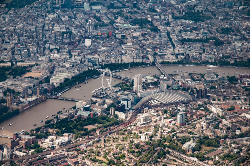
Geospatial digital twins are reshaping urban planning, enabling data-driven decisions across complex city systems.
Geospatial digital twins are dynamic, data-rich virtual representations of physical urban environments. They integrate spatial data, sensor inputs, and AI models to mirror real-world conditions in near real time. Within the digital construction sector, these systems support lifecycle management, from design and planning to operation and maintenance.
Unlike static BIM models, geospatial digital twins operate at the city scale. They combine GIS, IoT data streams, and predictive analytics to deliver actionable intelligence. For UK authorities and developers, this creates a foundation for coordinated infrastructure delivery, resilience planning, and regulatory compliance.
Implementing Digital Twins
Cities such as London and Manchester are already exploring digital twin frameworks to improve urban outcomes. The starting point typically involves consolidating existing geospatial datasets, including LiDAR scans, satellite imagery, and asset registers.
A scalable digital twin platform requires interoperability between BIM, GIS, and asset management systems. Open standards such as IFC and CityGML support integration, while cloud-based environments enable real-time collaboration. Establishing governance frameworks for data quality, ownership, and security is also essential.
Using geospatial AI for rapid flood response
Flood risk management is a critical application of geospatial AI in the UK. By combining terrain models, rainfall data, and drainage network information, digital twins can simulate flood scenarios with high accuracy.
Machine learning algorithms analyse historical flood events and predict potential impact zones. During live incidents, sensor feeds and weather data update the model continuously, enabling emergency teams to respond faster. This approach supports evacuation planning, infrastructure protection, and post-event analysis.
For example, AI-driven flood modelling allows authorities to prioritise interventions in vulnerable areas, reducing response times and improving public safety outcomes.

Combining drones and AI for waste and stormwater monitoring
Unmanned aerial vehicles (UAVs) enhance data collection within geospatial digital twins. Equipped with high-resolution cameras and sensors, drones capture up-to-date imagery of urban environments.
AI algorithms process this data to identify waste accumulation, blocked drainage systems, and surface water patterns. This enables local authorities to detect issues early and schedule targeted maintenance.
In stormwater management, drone data integrated into a digital twin can model runoff behaviour and identify bottlenecks in drainage infrastructure. This supports proactive interventions, reducing the likelihood of urban flooding and environmental damage.
Public digital twins for urban development
Public-facing digital twins provide transparency and engagement in urban development processes. Platforms such as those piloted in Glasgow demonstrate how stakeholders can interact with proposed developments in a virtual environment.
Planners, developers, and communities can assess the impact of new projects on transport networks, energy systems, and public spaces. Scenario modelling allows decision-makers to evaluate multiple options before implementation.
This approach improves planning efficiency and aligns development with local priorities, supporting sustainable growth across UK cities.
Delivering actionable insights through integration
The value of geospatial digital twins lies in integration. By combining AI, spatial analytics, and interoperable platforms, cities can move from reactive management to predictive decision-making.
Data fusion across systems enables a unified view of urban performance. Construction professionals can optimise project delivery, while local authorities gain tools to manage infrastructure more effectively.
Geospatial digital twins enable UK cities to integrate AI, spatial data, and infrastructure systems, supporting informed decisions, operational efficiency, and resilient urban development aligned with evolving environmental and societal demands.
Read more: Partnership strengthens digital innovation – Build in Digital
Are you a building professional? Sign up for a FREE MEMBERSHIP to upload news stories, post job vacancies, and connect with colleagues on our secure social feed.
