
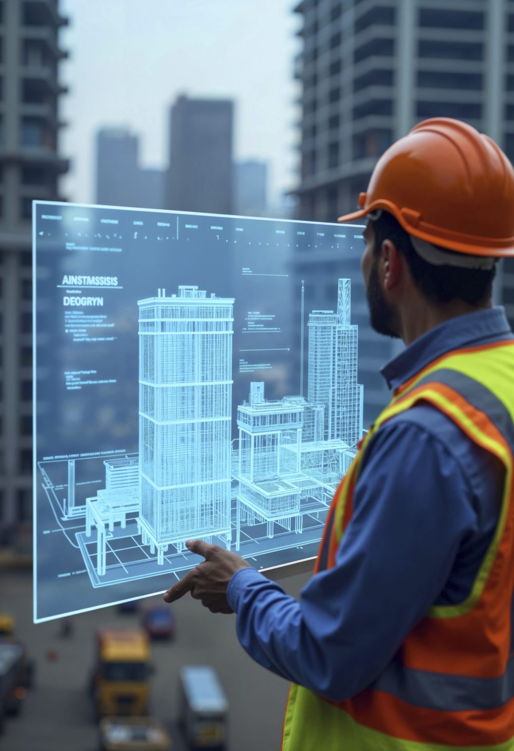
Geospatial technology is becoming central to effective decision-making in digital construction. As projects grow in scale and complexity, the ability to understand spatial data in real time is influencing how teams plan, design and deliver the built environment. The integration of geospatial solutions with digital construction processes is creating a more connected approach to project delivery, supporting better outcomes and improving confidence in critical decisions.
Across the digital construction landscape, geospatial data is now used to establish accurate project baselines, monitor progress and inform planning. Designers and engineers are using geospatial insights to understand site conditions before work begins, enabling earlier identification of risks and constraints. This supports more reliable design coordination and strengthens the foundations for digital workflows such as Building Information Modelling (BIM), Common Data Environments (CDEs) and digital twins.
One of the most significant developments is the use of automated data capture. Technologies such as drones, mobile mapping systems and terrestrial scanning are generating precise, repeatable datasets with minimal manual intervention. This reduces time spent on conventional surveying and improves the quality of information available throughout the construction lifecycle. Automated geospatial data capture also enhances transparency, as teams can access up-to-date site information without delays or inconsistencies.
As digital construction increasingly depends on real-time information exchange, geospatial technology is supporting better collaboration. Spatial data platforms enable project teams to share accurate site information and visualise it within familiar digital tools. This helps stakeholders, engineers, planners, contractors and clients, engage with the project context and understand how decisions affect design, procurement and programme delivery. The ability to align project information around a common geospatial reference frame also reduces duplication and improves coordination between disciplines.


Integrating geospatial intelligence into strategic planning is helping organisations optimise workflows and resource allocation. Construction managers can use geospatial insights to plan access routes, manage logistics and track material movements. On complex infrastructure projects, spatial intelligence helps predict and manage clashes between activities, reduce disruption and support safer working environments. When combined with digital construction methods, these capabilities contribute to more predictable schedules and more efficient supply chain management.
Geospatial technology is also playing an important role in supporting more sustainable construction outcomes. By understanding site conditions, energy potential and environmental constraints, teams can make informed decisions about material use, earthworks and the long-term performance of assets. Spatial data supports carbon assessment, environmental monitoring and lifecycle planning, all of which are becoming core requirements in modern project delivery. Integrating geospatial information into digital twins further strengthens these benefits by enabling scenario modelling and long-term asset optimisation.
As digital transformation accelerates, the value of geospatial technology lies in its ability to provide accurate, reliable and accessible information. It helps organisations move towards data-driven decision-making, ensuring that project strategies are grounded in measurable site intelligence. The combination of geospatial solutions with digital construction tools is creating workflows that are more efficient, predictable and aligned with client and regulatory expectations.
Geospatial innovation is reshaping how the sector plans, designs and delivers the built environment. By automating data capture, enabling collaboration and embedding spatial intelligence into every stage of the construction lifecycle, geospatial technology supports smarter and faster decision-making. As the digital construction sector continues to evolve, geospatial solutions will remain integral to delivering projects that are efficient, coordinated and ready to meet future demands.
Read next: Houston’s first 3D-printed community – Build in Digital
Are you a building professional? Sign up for a FREE MEMBERSHIP to upload news stories, post job vacancies, and connect with colleagues on our secure social feed.

