
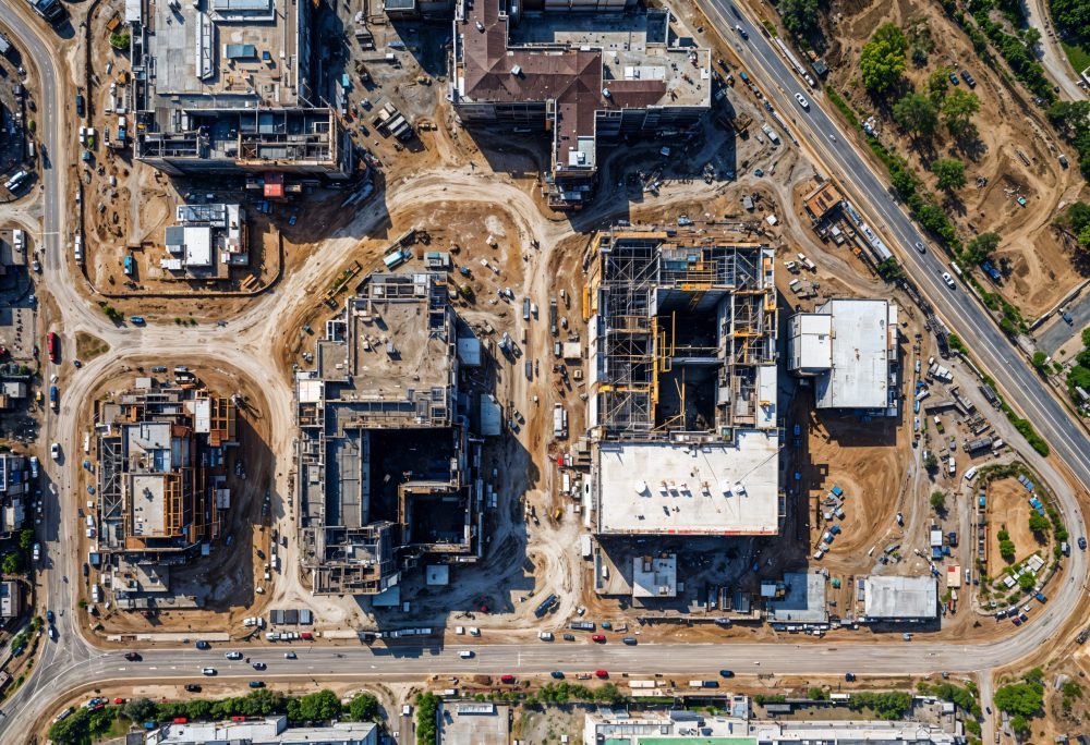
As digital construction matures, the integration of Building Information Modelling (BIM) Common Data Environments (CDEs) with Geographic Information Systems (GIS) is becoming a strategic priority across the AECO sector. Traditionally, BIM and GIS have operated in parallel, serving different stages of the built environment lifecycle. Extending BIM CDE and AECO functionalities into GIS environments aligns project data with real-world spatial context, supporting more informed planning, delivery and asset management.
Single source of truth
A BIM Common Data Environment provides a single source of truth for project information, structured around standards such as ISO 19650. It governs how information is created, shared and approved across design and construction teams. GIS, by contrast, manages geospatial data, enabling analysis of location-based factors such as land use, transport networks, environmental constraints and utilities. Integrating these environments connects detailed asset information with broader spatial intelligence, enabling end-to-end digital workflows.
Accurate decision making
For infrastructure and large-scale developments, BIM and GIS integration support earlier and more accurate decision making. During planning and feasibility stages, GIS data can be incorporated into the BIM CDE to assess site suitability, regulatory constraints and environmental impact. This allows multidisciplinary teams to evaluate options using consistent, up-to-date information, reducing rework and improving coordination. Extending AECO processes into GIS environments also supports better stakeholder engagement by visualising projects within their wider geographic and community context.
Central to this approach
Interoperability is central to this approach. Modern digital construction platforms increasingly support open standards and data exchange between BIM and GIS, including IFC, CityGML and geospatial web services. By aligning data structures and metadata, organisations can ensure that spatial data and asset information remain connected throughout the project lifecycle. This reduces information silos and enables continuous data use from concept design through construction and into operations.
Enhance asset management
Extending BIM CDE processes into GIS environments also enhances asset management and operational performance. Once assets are delivered, GIS-linked BIM data supports maintenance planning, performance monitoring and risk management at network or portfolio scale. Asset owners can query spatial relationships, assess condition data and plan interventions more effectively. This is particularly valuable for transport, utilities and energy sectors, where assets are distributed across large geographic areas.
Convergence
Governance and information management benefit significantly from this convergence. Applying CDE principles to GIS environments introduces controlled workflows, clear information responsibilities and auditability to spatial data management. This supports compliance with information management standards and improves confidence in data quality. For organisations pursuing digital twins, integrating BIM and GIS provides the foundation for connecting physical assets, spatial context and real-time data.
Evolving
As the digital construction sector continues to evolve, extending BIM Common Data Environment and AECO processes into GIS environments is no longer optional. It enables a unified approach to data, supports collaboration across disciplines and delivers greater value from digital information investments.
Read next: Green certification is failing real-world sustainability – Build in Digital
Are you a building professional? Sign up for a FREE MEMBERSHIP to upload news stories, post job vacancies, and connect with colleagues on our secure social feed.
